
Boundary and topographic surveys
Precise measurement for clear boundaries and secure land.
A boundary survey determines and marks the exact limits of your land. A topographic survey records its shape, levels and constraints. The two complement each other: one settles the right, the other describes the ground.
- Total station · RTK GPS
- Tolerance ± 2 cm
Boundary and topographic surveys
The boundary survey
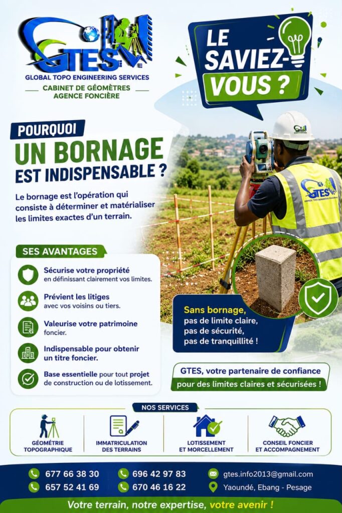
A legal and technical operation that determines and marks the exact limits of a plot, with the neighbouring owners present. Markers are set on site and the agreement is recorded in a boundary report signed by all parties.
The topographic survey
A full record of the natural ground: outlines, levels, slopes, buildings, access and visible networks. It produces a dimensioned plan that underpins any setting-out, subdivision or construction study.
Without established boundaries, land stays exposed: encroachment, neighbour disputes, and blocked resale or financing.
What we do
A team comes to your land with the instruments and leaves with the raw data. The rest is processed at the office.
- Records research. Review of the land title, existing plans and earlier boundary reports at the land registry.
- Site reconnaissance. Locating existing markers, actual occupation and available reference points.
- Notifying the neighbours. Adjoining owners are informed of the intervention date, the condition for a contradictory survey.
- Total-station and differential GPS survey. Angles, distances and levels measured, checked from two stations to guarantee closure.
- Setting the markers. Corners materialised with numbered concrete markers, recorded by coordinates.
- Computation and drawing. Observations processed, area computed and the dimensioned plan produced in DWG and PDF.
- Drafting the boundary report. The report is signed by the parties and added to the file, holding up before the administration.
From first contact to handover
- First contact and needs analysis You describe the land and the goal: sale, construction, division or regularisation. We confirm the right service.
- Collecting available documents Title, plans, earlier reports, sketches, anything existing cuts the research work.
- Site reconnaissance A first visit to locate existing markers, access and actual occupation.
- Topographic measurement Total-station and differential GPS survey, checked from two stations.
- Determining and marking the boundaries Corners computed, markers set and agreement confirmed with the neighbours.
- Data processing and document production Computation, dimensioned plan, area calculation and drafting of the boundary report.
- Handover of deliverables Plan and report handed over, contents explained and next steps set out for your project.
Documents required
- Land title : Copy of the title or certificate of ownership, if the land is already registered.
- Plan : Location plan, cadastral plan or any earlier plan of the land.
- Technical file : Earlier boundary reports, surveys or documents from an ongoing file.
- Any other available document : Sale agreement, attestation, sketch, administrative correspondence.
The documents required vary with the project and the status of the land. If you hold none, we start the search at the land registry before the site visit.
Timeline
We state a timeline after reading the file, never before. Three things determine it.
- The area : An urban plot of a few hundred m² does not take the same survey time as an estate of several hectares.
- The complexity : Relief, dense vegetation, lost markers, neighbours who are hard to gather or contested limits all extend the work.
- The nature of the work : A survey alone, a contradictory boundary survey or a file destined for the administration do not carry the same follow-up.
Quote and timeline sent within 24 h of receiving the documents.
What you gain
- Precise, reliable measurement. Survey checked from two stations, centimetre tolerance, data tied to the national system.
- Clearly determined boundaries. Markers visible on the ground and computed corners, acknowledged by the neighbours.
- Better secured land. Surveyed land can be defended: encroachment is provable, disputes are settled on documents.
- Usable technical documentation. Dimensioned plan in DWG and PDF, reusable by your architect, your notary or the administration.
- Professional support. A sworn surveyor follows the file from quote to handover, and answers afterwards.
Related services
All our servicesFrequently asked questions
A question not covered here? Send it to us, we reply within 24 h.
Ask a questionWhy have land surveyed?
A boundary survey fixes the limits of your property contradictorily, meaning they are acknowledged by your neighbours. It protects against encroachment, secures a sale, conditions construction and underpins any subdivision or title application.
What is the difference between a boundary survey and a topographic survey?
The boundary survey concerns the right: it determines and marks the limits, with neighbours present, and ends in a signed report. The topographic survey concerns the physical ground: relief, levels, buildings, access. One can be done without the other, but most projects need both.
Which documents must I provide?
The land title or certificate of ownership, existing plans and any earlier boundary report. If you have none, we run the search at the land registry before going to site.
How long does the work take?
It depends on the area, the complexity of the ground and the nature of the work. We give a firm timeline after reading your file, within 24 h.
What happens after the survey?
Observations are processed at the office: computation, dimensioned plan, area calculation, drafting of the report. You receive the deliverables in DWG and PDF, and we set out the possible next steps, registration, subdivision, setting out or administrative filing.
Boundary and topographic surveys
Precise measurement for clear boundaries and secure land.